
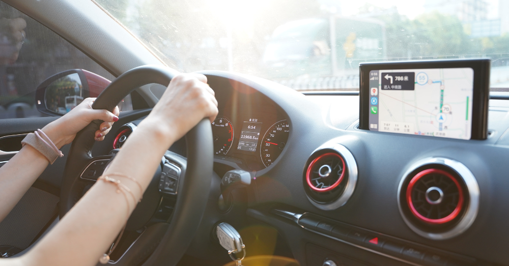
Cities are beginning to treat roads, crosswalks, and traffic patterns as living data sources. Most of us pass through intersections and roundabouts without a second thought. They’re part of the daily grind: pause, turn, go. Behind this typical traffic flow lies a quietly growing network of information. From roundabout cameras to street-level sensors, these systems are becoming smarter, and they’re reshaping how we plan for safety, efficiency, and sustainability.
With the help of artificial intelligence and blockchain-based tools, cities are turning everyday movement into decision-making power.
Where Roundabouts Become Data Hubs
Carmel, Indiana, often called the roundabout capital of the United States, has built more than 120 roundabouts across the city. On the surface, they look like a strategy to reduce stop-and-go traffic. Studies show they’ve helped cut down on delays and reduced serious crashes, but they’re also generating a surprising amount of valuable data.
Each roundabout captures vehicle speeds, flow patterns, and decision timing, creating a digital map of how drivers behave in real-time. That kind of insight helps planners refine road designs and identify areas where signage, lighting, or lane markings need updates. More importantly, it creates a feedback loop: infrastructure responds to how people use it, not just how it was originally designed. The next time you drive through Carmel, Indiana, you may not realize that you’re providing data that helps plan the city’s infrastructure.
Dashboards and Heatmaps That Drive Policy
In Spokane County, Washington, officials use Average Daily Traffic (ADT) dashboards to identify where roads are overworked or underused. These tools help determine which streets get repaired first, where bike lanes might reduce vehicle pressure, or how to route emergency vehicles during construction season.
Mapping where cars bunch up or spread thin helps Spokane’s traffic team plan smarter for how the region grows over time. The data is made available to the public, too, giving residents a clearer view of how their commutes are evolving.
AI Sees What We Miss
In Albany, New York, researchers at SUNY Albany are exploring how artificial intelligence can break down traffic patterns on a micro level. Their systems watch video feeds of intersections and study how pedestrians and vehicles interact to understand behavior. Do people jaywalk at the same spot every day? Do drivers consistently make unsafe left turns?
These insights help city planners make decisions grounded in real human habits. The AI learns how people move through space and identifies where friction and risk are most likely to occur.
Sharing the Data Without Losing Control
Turning traffic into intelligence opens the door to new technologies, but it also raises concerns about privacy and access. That’s where Ocean Protocol comes in. It’s a blockchain-based platform that allows cities and researchers to share data securely. Instead of handing over raw footage or GPS logs, they let outside developers run algorithms directly on the data, which keeps sensitive information private.
Imagine Carmel, Indiana, uploading anonymized roundabout data. Albany contributes an AI model trained on pedestrian behavior. A startup in another country accesses both and creates a congestion-forecasting tool that can be sold back to cities worldwide. This kind of system helps innovate without breaking trust.
The Commute Is Smarter Than It Looks
What used to be a frustrating morning routine is now part of a much larger shift. Cities are no longer passive backdrops for traffic. Instead, they’re becoming responsive networks of sensors, software, and insight. With help from AI and blockchain, every street corner is a chance to make transportation safer, more efficient, and better connected across communities. Your daily drive may feel routine, but to the systems behind it, it’s a conversation, and cities are finally starting to listen.